SAUDI ARABIA · GCC · MIDDLE EASTsales@enviromet-sa.com ↗

Renewable energy

Wind resource assessment

Understand the wind before advancing the project.

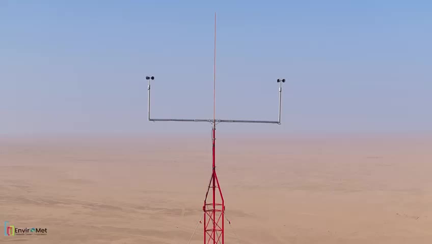
EnviroMET met mast in the field

WIND RESOURCE ASSESSMENT AT SCALE

850,000km2

Wind energy resource assessment campaign coverage.

Discuss your campaign ↗

THE SOLUTION

Understand the wind before advancing the project.

Met mast, LiDAR and hybrid measurement campaigns connect site conditions with resource and yield assessment.

Scope of support

01

Campaign objectives and measurement strategy

02

Met mast installation and sensor integration

03

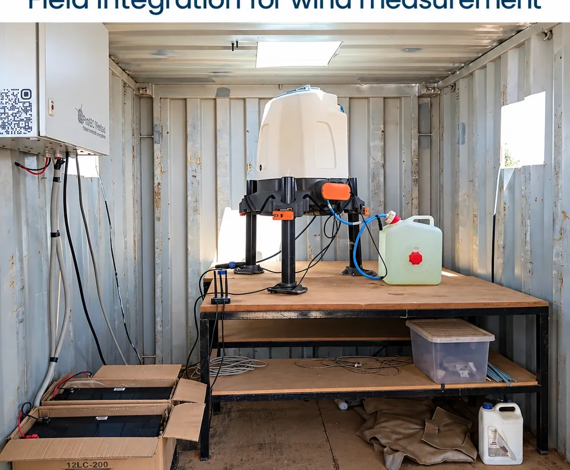
LiDAR deployment, power and communications

04

Data quality review and resource assessment

Campaign contextMast-mounted measurements: IEC 61400-50-1. Ground-mounted vertical-profiling remote sensing: IEC 61400-50-2. Applicability and verification requirements are established for each campaign.

Set the campaign up for review.

The agreed scope identifies equipment configuration, field activities, records and reporting needs. Share your site, timing and assessment objectives so the team can define the right deliverables.

PROCUREMENT CLARITY

A scope your team can compare.

Agree the scope before requesting a quotation
RequirementWhat to establish
ObjectiveMet mast, LiDAR and hybrid measurement campaigns connect site conditions with resource and yield assessment.
Delivery scopeCampaign objectives and measurement strategy; Met mast installation and sensor integration; LiDAR deployment, power and communications; Data quality review and resource assessment
Technical basisMast-mounted measurements: IEC 61400-50-1. Ground-mounted vertical-profiling remote sensing: IEC 61400-50-2. Applicability and verification requirements are established for each campaign.
Quotation inputsSite and country, project stage, objective, dates, equipment preferences and available specifications.
Handover basisAgree the applicable configuration, installation, maintenance, data and reporting records before deployment.
Download and complete your project brief ↗

BUILT AROUND YOUR REQUIREMENTS

From scope to reviewable deliverables.

Define the decision the resource observations must support, including observation variables, instrument siting, site conditions and assessor-specified requirements. Agree how installation records, instrument information, data checks and the intended assessment will be connected.

Who this supports

Development and assessment teams.

The agreed assignment defines which activities and deliverables are included.

Scope items to agree

  • Campaign objectives and measurement strategy
  • Met mast installation and sensor integration
  • LiDAR deployment, power and communications
  • Data quality review and resource assessment
What should we send with an enquiry?

Share the site or facility, country, project stage, objective, available specifications and expected timing. The team can then discuss equipment, field activities or technical-review needs relevant to wind resource assessment.

Discuss your campaign ↗Read the related planning guide ↗

BUILD A CLEARER BUSINESS CASE

Know the scope.
Compare the campaign.

Use your assumptions to compare setup, operations and field-service costs. Then align the technical requirements with the project team.

TECHNICAL BASIS

Measurement quality, from site to assessment.

Agree measurement heights and duration with the assessor. Record sensor identities and calibration, boom orientation and mounting geometry, terrain and obstacle conditions, acquisition settings and time reference. Preserve raw records, flag exclusions and gaps, and document uncertainty and any long-term adjustment used in the assessment. Mast-mounted instruments and ground-based vertical-profiling LiDAR follow different technical requirements.

Review measurement standards ↗

Your next project

What do you need
to measure?

Share your site, project stage and objectives.

Discuss your campaign ↗